GIS & Mapping

What is GIS?
A geographic information system (GIS) is a computer system designed to capture, store, manipulate, analyze, manage, and present all types of geographical data. GIS can be thought of as a system that provides spatial data entry, management, retrieval, analysis, and visualization functions. GIS applications are tools that allow users to create interactive queries (user-created searches), analyze spatial information, edit data in maps, and present the results of all these operations. GIS is the science underlying geographic concepts, applications, and systems.
More information can be found at the following links:
Purchasing Data
Please refer to the documents below regarding the purchase of GIS data from Susquehanna County.
Online Credit Card payments for order can be made through allpaid. Click here to be taken to payment page. Be sure to select "GIS" for type of sale, and reference your invoice number if provided.
Contact Information
GIS & Mapping
County Courthouse
31 Lake Avenue (PO Box 218)
Montrose, PA 18801
Telephone: (570) 278-5916
Fax: (570) 278-5917
GIS Technician/Drone Pilot - Thomas Zegar
GIS Parcel Administrator - Theresa LoSapio
Address Inquires
To request your 911 physical address or for release to USPS contact Carol Ainey in the Addressing Office at (570) 278-2918 or form.
Contact Us
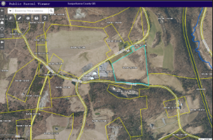
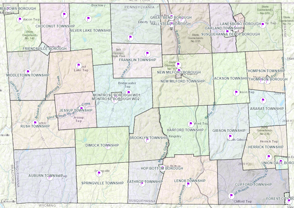
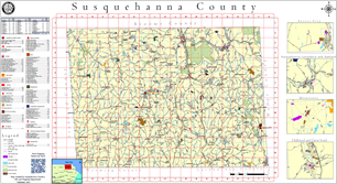
Susquehanna County Web Maps
All Susquehanna County public GIS web maps can be found at our ArcGIS Online webpage at the URL below.
For more information visit the Susquehanna County Promotion and Tourism Agency website at visitsusqco.com.
FEMA Flood Map Viewer
Below is a link to access the FEMA flood map service:
The FEMA Flood Map Service Center (MSC) is the official public source for flood hazard information produced in support of the National Flood Insurance Program (NFIP).
USGS National Map Viewer
The U.S. Geological Survey’s (USGS) National Map is a collaborative effort among the USGS and other Federal, State, and local partners to improve and deliver topographic information for the Nation. It has many uses ranging from recreation to scientific analysis to emergency response. Below is a link to the National Map: